UAV Services
Certified UAV Operators
Prairie/Northern Regions
Z-Air offers stunning low-altitude aerial photography and high definition cinematography via our remotely operated UAVs(Unmanned Aerial Vehicles). We fly by Transport Canada rulings and regulations including the new June 1, 2019 air regulations which requires pilots to pass advanced exam certifications. Our UAV pilot is fully qualified holding a commercial pilot license and has a vast experience flying UAV's and full sized fixed wing aircraft. Our aerial platforms use a multitude of sensors and technology including GPS and 3-axis camera gimbals to provide crisp, clear imagery. Some of the applications of this new and exciting technology include:
Products
Aerial video - professional 4k video with 3 axis gimbal
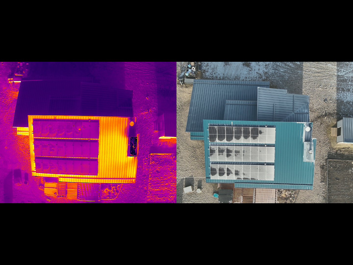
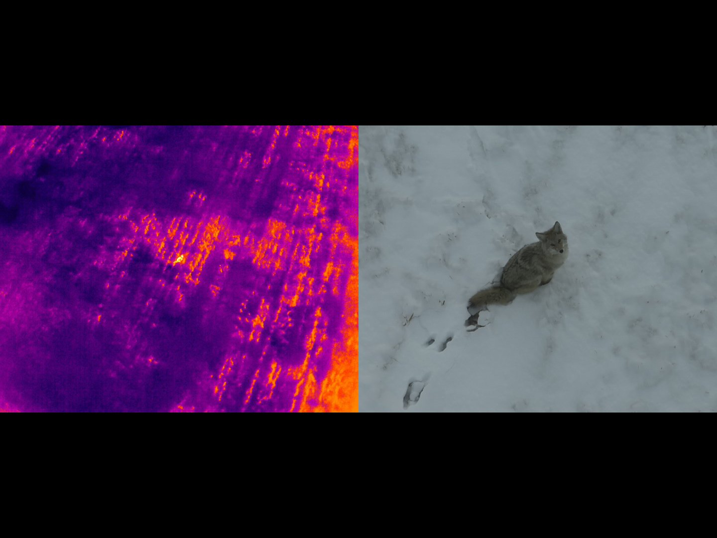
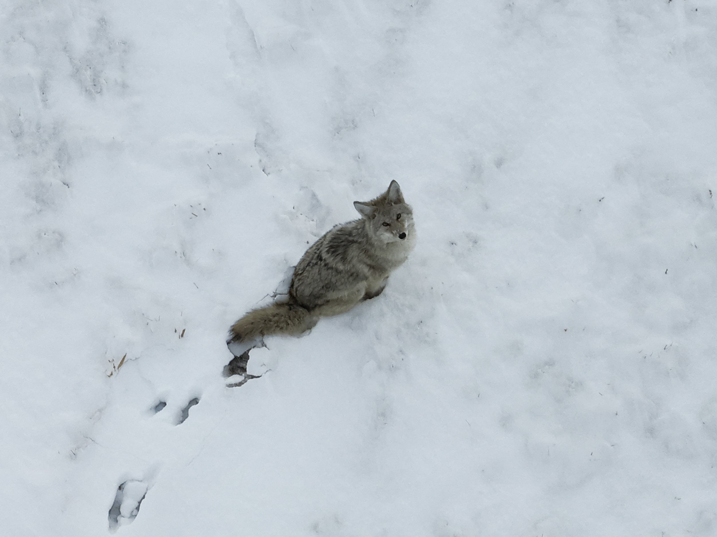
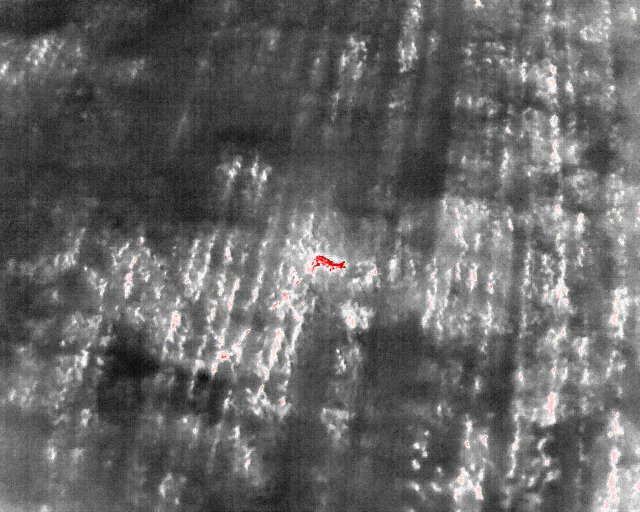
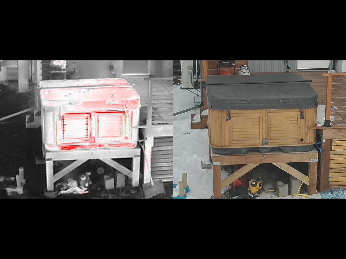
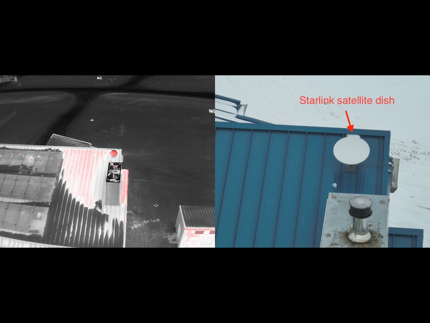
Infrared inspections - Capturing infrared video/photos of buildings, homes, solar fields etc.
Advertising - When advertising a property or business, imagery from a unique, eye catching angle can capture the attention of a prospective client.
3D Mapping - create stunning 3d imagery of buildings, monuments, terrain
Panoramic Views - Capture a one of a kind aerial panoramic image of your company, town, city, building and surrounding area.
Inspection - Measure progress at your construction site with our aerial platform.
News/Sports Reporting - High definition video can be captured from previously unattainable viewpoints and delivered within minutes of an event.
Agriculture - We provide training and equipment to farmers that wish to operate their own aerial platform for crop inspection. These UAVs are equipped with HD cameras that record and send instant video footage back to the operator.
Orthomosaic maps - small area, high detail aerial maps can be created with our UAV systems
UAV Equipment
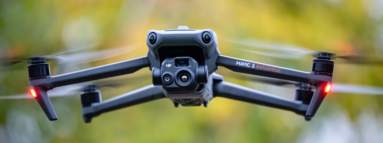
DJI Mavic 2 pro with 1’’ Hasselblad sensor
DJI Mavic 3T thermal imaging